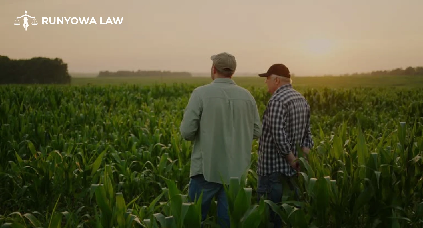
In agriculture, land is more than property — it’s livelihood, identity, and legacy. Every inch of farmland holds value, whether it’s for cultivation, grazing, irrigation access, or inheritance. But what happens when the lines that define that land become blurred?
Boundary and survey disputes are among the most common — and most disruptive — legal issues faced by farmers, landowners, and rural communities. These conflicts can delay agricultural operations, strain neighborly relations, and lead to costly legal battles if not handled correctly.
This guide explores the causes, consequences, and resolution strategies for boundary and survey disputes in agriculture, helping landowners understand how to protect their rights and maintain peace on their land.
What Are Boundary and Survey Disputes?
A boundary dispute arises when two or more parties disagree over the precise location of a property line separating their lands. A survey dispute, on the other hand, involves questions about the accuracy or interpretation of a land survey — the official documentation of those boundaries.
In agriculture, these disputes often involve large tracts of farmland, shared access roads, or irrigation boundaries, making them complex and emotionally charged.
Common examples include:
- Overlapping fences or encroachments
- Conflicting survey maps or deeds
- Disputes over easements and rights of way
- Errors in previous land surveys or titles
- Boundary shifts due to erosion, floods, or natural features changing over time
Why Boundary Disputes Are Common in Agricultural Land
Agricultural properties often span hundreds or thousands of acres, and many have been passed down through generations. Over time, changes in ownership, outdated survey methods, and natural alterations can cause confusion about where one property ends and another begins.
Some common reasons include:
- Outdated or Inaccurate Surveys
Older farms may rely on surveys conducted decades ago using primitive tools or unclear landmarks (like “from the oak tree to the river bend”). Modern surveying technology, such as GPS mapping, may reveal discrepancies in those historical boundaries.
- Encroachments and Fencing Errors
It’s common for farmers to build fences or plant crops based on assumed property lines. Over time, small encroachments — a few meters of farmland — can grow into major legal disputes.
- Unrecorded Easements or Access Rights
Sometimes, neighboring landowners share access roads, irrigation channels, or grazing areas without formal documentation. When ownership changes, the lack of legal clarity can lead to conflicts.
- Natural Boundary Changes
Rivers shifting course, soil erosion, or flooding can alter land contours. In such cases, boundaries defined by natural landmarks can move or disappear, sparking disputes over ownership.
- Inheritance and Land Division Issues
Family-owned farms often face disputes when property is divided among heirs without proper surveys or legal documentation, leading to overlapping claims or unequal land allocation.
Legal Implications of Boundary and Survey Disputes
Boundary disputes may seem like small disagreements, but they can escalate into serious legal issues affecting:
- Ownership Rights: Disputed boundaries can prevent sale, lease, or mortgage of the land until resolved.
- Agricultural Operations: Ongoing disputes may restrict access to key farming areas, roads, or irrigation channels.
- Financial Losses: Legal costs, survey fees, and crop losses can accumulate quickly.
- Community Relations: Long-standing neighborly ties can deteriorate over perceived encroachments or unfair claims.
In severe cases, unresolved disputes can even result in trespass claims, injunctions, or court-ordered land reallocation.
Steps to Resolve Boundary and Survey Disputes
The good news is that most agricultural boundary disputes can be resolved without prolonged litigation. The key is to act promptly, professionally, and with proper legal guidance.
Here’s how to approach the situation:
1. Review Property Documents
Start by examining your property deeds, land titles, and previous surveys. These documents can clarify historical boundary lines and ownership records.
If you inherited the land, ensure that the title has been correctly transferred and that any easements or agreements are legally recorded.
2. Conduct a Professional Land Survey
Hiring a licensed land surveyor is crucial. Modern GPS and geospatial mapping technologies can accurately define property lines and reveal discrepancies with older records.
Both parties can agree to commission a joint survey, which helps establish trust and reduces the risk of conflicting reports.
3. Attempt Negotiation or Mediation
Before heading to court, try resolving the dispute through direct communication or mediation. A neutral mediator — often a legal professional or agricultural dispute specialist — can facilitate dialogue and help parties reach a fair compromise.
Mediation is less expensive, faster, and more amicable than litigation, preserving long-term relationships between neighbors.
4. Engage a Property or Agricultural Lawyer
If negotiations fail, seek legal advice. An experienced property or agricultural lawyer can:
- Review survey reports and title documents
- Advise on ownership rights and obligations
- Represent your interests in negotiations or court proceedings
- File for injunctions or compensation if your land has been encroached upon
A lawyer ensures that your case is handled according to property laws and agricultural regulations in your jurisdiction.
5. Consider Legal Action as a Last Resort
If all other avenues fail, litigation may be necessary to protect your property rights. Courts can issue orders to:
- Establish legal boundaries
- Award damages for losses caused by encroachment
- Require the removal of structures or crops built on disputed land
While legal proceedings can be time-consuming and costly, they may be the only way to achieve a binding resolution when the dispute involves significant acreage or high-value farmland.
Preventing Future Boundary Disputes
Prevention is always better than resolution. Farmers and landowners can take several proactive steps to minimize future conflicts:
- Update Land Surveys Regularly: Re-survey your property after major construction, natural events, or land sales.
- Maintain Clear Records: Keep copies of deeds, titles, and boundary maps in accessible condition.
- Mark Boundaries Clearly: Use permanent markers, fencing, or signage based on official survey results.
- Document Agreements: Any shared use of land — such as easements, roads, or irrigation — should be formalized in writing.
- Consult Professionals: Engage lawyers and surveyors early when acquiring, dividing, or selling farmland.
Conclusion:
Boundary and survey disputes in agriculture are more than legal conflicts — they touch on heritage, trust, and livelihoods built over generations. While these disputes can be complex, they are resolvable with the right approach and professional guidance.
Whether through updated surveys, open communication, or legal representation, protecting your boundaries ensures that your farm remains productive, peaceful, and legally secure for years to come.
If you’re facing a boundary or survey dispute, consult an agricultural property lawyer to review your case and explore the best resolution strategy. Early legal intervention can save you time, money, and unnecessary conflict — helping you focus on what matters most: cultivating your land and securing your legacy.